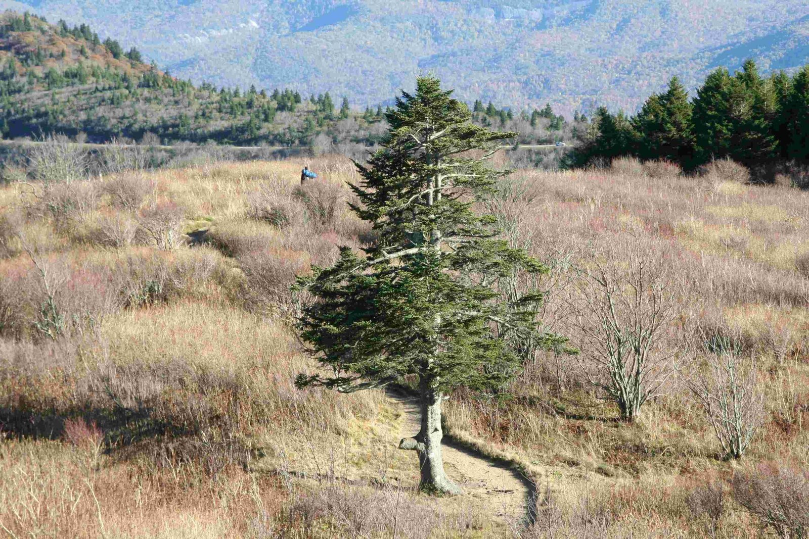
The Appalachian Trail blaze system is a critical navigational tool for hikers traversing the 2,190-mile wilderness corridor. These painted markers, strategically placed on trees, rocks, and posts, provide essential guidance through diverse terrains, helping adventurers maintain their route across 14 states from Georgia to Maine. Understanding these blazes can mean the difference between a successful journey and getting lost in the wilderness.
What Are Appalachian Trail Blazes?

Trail blazes are painted rectangular markings that serve as directional indicators for hikers. On the Appalachian Trail, these markers communicate critical information about route, direction, and potential trail variations.
Color Coding of Trail Blazes
| Blaze Color | Meaning | Typical Usage |
|---|---|---|
| White | Main Appalachian Trail | Primary route marker |
| Blue | Side Trails | Alternate routes, shelters |
| Yellow | Unofficial | Hitchhiking or road travel |
How Do White Blazes Work?

White blazes are the primary navigation tool for Appalachian Trail hikers. Their placement and configuration communicate specific information:
- Single Blaze: Continue straight ahead
- Double Vertical Blazes: Indicate a turn or route change
- Offset Blazes: Signal direction of upcoming turn
Where Will You Find Appalachian Trail Blazes?
Hikers can expect to find blazes in multiple locations:
- Tree trunks at eye level
- Large rock surfaces
- Wooden trail markers
- Occasional guardrails
- Utility poles in more developed areas
What Are Best Practices for Blaze Navigation?
Successful navigation requires more than just recognizing blazes:
- Carry a physical map and compass
- Learn to read blaze configurations
- Check blazes frequently
- Note the last blaze if unsure of direction
- Be prepared for minimal blazing in wilderness areas
Who Maintains Appalachian Trail Blazes?
Maintenance is a collaborative effort involving:
- Appalachian Trail Conservancy
- Local trail maintenance clubs
- Dedicated volunteers
- Regional park services
Maintenance Challenges
Maintaining 2,190 miles of trail presents unique obstacles:
- Weather degradation
- Paint fading
- Vegetation overgrowth
- Vandalism
- Terrain accessibility
What Equipment Helps With Blaze Navigation?
Recommended navigation tools include:
- Detailed topographic maps
- Compass
- GPS device
- Smartphone with offline maps
- Binoculars for distant blaze identification
How Often Are Blazes Repainted?
Repainting frequency depends on:
- Local climate conditions
- Trail section usage
- Volunteer availability
- Paint quality
- Terrain exposure
Typically, sections are repainted every 3-5 years, with high-traffic areas receiving more frequent maintenance.
Can Technology Replace Traditional Blazes?
While GPS and digital mapping have advanced, traditional blazes remain crucial because:
- They don’t require batteries
- Work in areas with poor signal
- Provide immediate visual guidance
- Represent a historical trail-marking tradition
What Should Hikers Remember About Blazes?
Key takeaways for successful Appalachian Trail navigation:
- Learn blaze color meanings
- Stay observant
- Carry backup navigation tools
- Respect trail marking traditions
- Participate in trail maintenance when possible
Final Navigation Tips
- Always cross-reference multiple navigation methods
- Stay alert and focused
- Enjoy the journey, not just the destination

