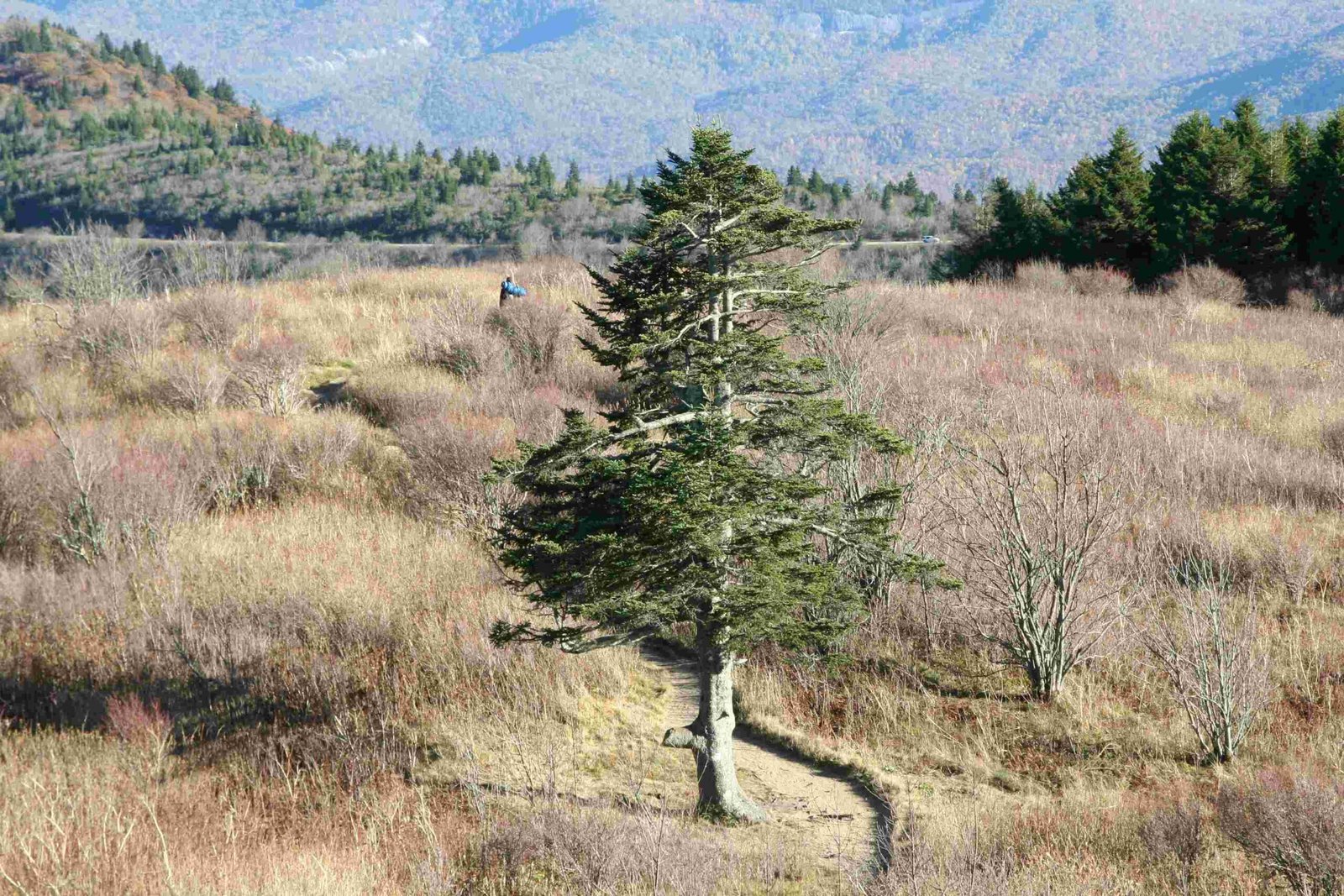
The Appalachian Chattahoochee Basin in Georgia represents a remarkable ecological and geographical landscape, stretching from the Blue Ridge Mountains to the Coastal Plain. This dynamic region encompasses a complex network of rivers, streams, and diverse ecosystems, offering a unique blend of natural beauty, recreational opportunities, and environmental significance that attracts researchers, outdoor enthusiasts, and nature lovers from across the southeastern United States.
What Makes the Appalachian Chattahoochee Basin Unique?

The Chattahoochee River, originating near Jacks Knob in the southern Blue Ridge Mountains, serves as the primary water artery of this remarkable basin. With GPS coordinates at 34°49′26″N 83°47′28″W, the river traverses approximately 430 miles, creating a lifeline for multiple ecosystems and human communities.
Key Geographical Characteristics
| Feature | Description | Significance |
|---|---|---|
| River Source | Blue Ridge Mountains | Pristine mountain watershed |
| Total Length | 430 miles | Major southeastern water system |
| Ecosystem Types | Mountain, Piedmont, Coastal Plain | Diverse biological habitats |
What Wildlife Inhabits the Basin?
The Appalachian Chattahoochee Basin supports an extraordinary range of biodiversity:
- Aquatic Species:
- Rainbow trout
- Largemouth bass
-
Various native minnow species
-
Terrestrial Wildlife:
- White-tailed deer
- Black bears
- Multiple bird species including bald eagles
How Can Visitors Explore the Basin?

Recreational Opportunities
Visitors can engage with the Appalachian Chattahoochee Basin through multiple activities:
- Hiking Trails
- East Palisades Trail (GPS: 33.884062, -84.436651)
- Chattahoochee Bend State Park trails
-
Mountain segment hiking routes
-
Water-Based Activities
- Kayaking
- Canoeing
- Fishing
- Boat tours
Conservation and Environmental Challenges
The basin faces significant environmental pressures:
- Water quality degradation
- Habitat fragmentation
- Urban development impacts
- Agricultural runoff
What Are the Best Access Points?
Recommended Locations
- Chattahoochee River National Recreation Area
- Multiple park units
- Accessible trails
-
Parking available ($5 day pass)
-
Suwanee Creek Unit
- GPS: 34° 1′ 33.61″ N, 84° 7′ 31.30″ W
- Excellent for nature photography
- Bird watching opportunities
How to Prepare for Basin Exploration?
Essential Visitor Tips
- Bring appropriate hiking gear
- Check weather conditions
- Carry water filtration system
- Obtain necessary permits
- Respect wildlife and environment
Research and Monitoring Efforts
Ongoing scientific research focuses on:
– Water quality assessment
– Biodiversity tracking
– Climate change impact studies
– Ecosystem restoration projects
Recommended Equipment
| Item | Purpose | Recommended Type |
|---|---|---|
| Hiking Boots | Trail navigation | Waterproof, ankle support |
| Binoculars | Wildlife observation | 8×42 magnification |
| Water Bottle | Hydration | Minimum 1-liter capacity |
| GPS Device | Navigation | Topographical mapping |
Conclusion
The Appalachian Chattahoochee Basin in Georgia offers an unparalleled natural experience, combining geological wonder, ecological diversity, and recreational opportunities. Whether you’re a researcher, outdoor enthusiast, or casual nature lover, this remarkable region promises unforgettable experiences.

