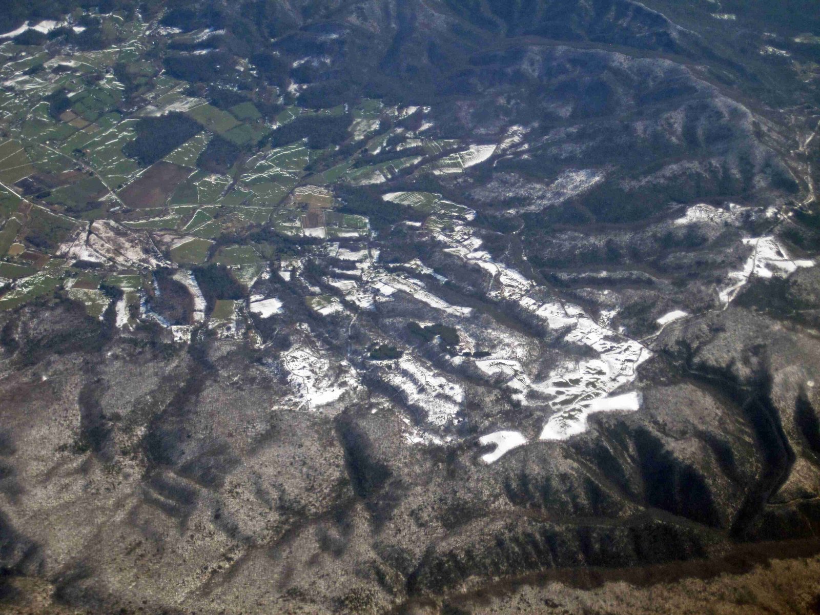
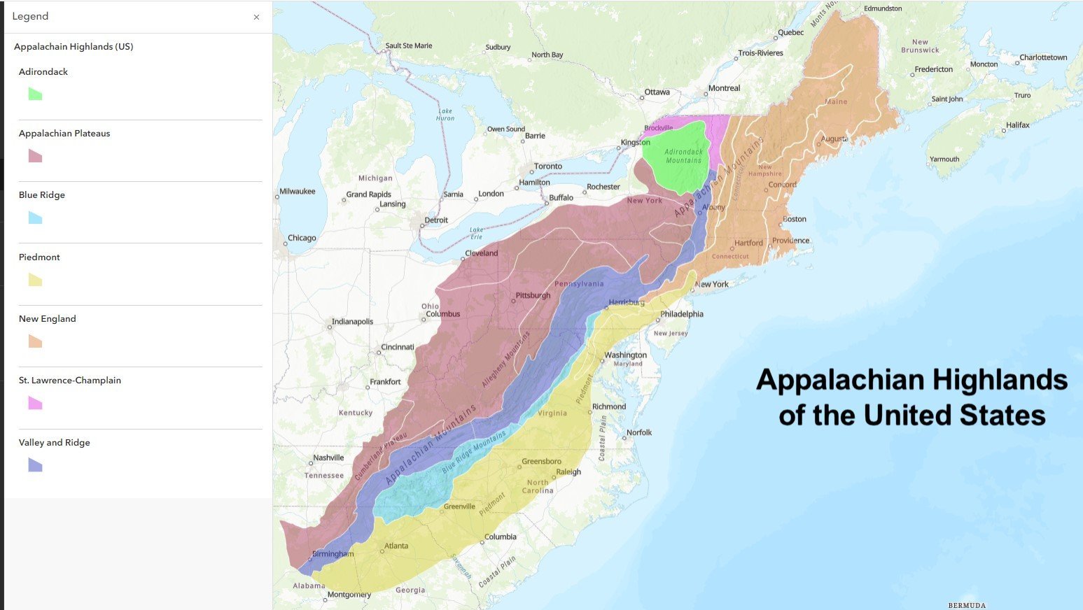
The Appalachian backroads routes offer an extraordinary journey through rugged mountain landscapes, winding roads, and hidden cultural gems. These scenic pathways traverse Virginia’s most remote and stunning territories, providing travelers with an immersive experience of natural beauty, challenging terrain, and rich Appalachian heritage. From technical motorcycle routes to serene camping destinations, these backroads promise an unparalleled exploration of America’s mountain wilderness.
What Makes Appalachian Backroads Unique?

Appalachian backroads routes are not just transportation corridors but gateways to extraordinary experiences. These routes wind through diverse terrains, offering:
- Dramatic Elevation Changes: Roads climbing from 1,000 to 4,223 feet
- Scenic Curves: Some routes feature up to 80 challenging curves
- Cultural Landscapes: Traversing historic mountain communities
- Natural Wonders: Access to state parks, overlooks, and wildlife habitats
How to Navigate the Most Iconic Routes?

The Elevate’R Route
| Feature | Details |
|---|---|
| Mileage | 100 miles |
| Difficulty | Moderate to Challenging |
| Key Landmarks | High Knob, Breaks Interstate Park |
| Recommended Vehicle | High-clearance SUV or Motorcycle |
This route offers breathtaking mountain views and challenging road conditions. Riders and drivers will experience:
– Elevation changes of over 3,000 feet
– Panoramic mountain vistas
– Opportunities for wildlife photography
– Access to hiking and camping facilities
The Ridge Runner Expedition
The Ridge Runner spans 112 miles through Virginia’s most challenging terrain. Highlights include:
– The infamous “Great 80 Curves of Challenge”
– Multiple mountain town crossings
– Scenic overlooks at Cedar Bluff
– Opportunities for cultural exploration in small Appalachian communities
What Preparation is Essential?
Vehicle and Safety Recommendations
- Vehicle Maintenance
- Check brake systems
- Ensure robust tire condition
-
Carry emergency repair kit
-
Navigation Tools
- GPS with offline maps
- Physical road maps
-
Cellular signal booster
-
Seasonal Considerations
- Spring/Fall: Ideal traveling seasons
- Summer: Watch for afternoon thunderstorms
- Winter: Require advanced driving skills
Where to Camp and Explore?
Top Camping Destinations
- Breaks Interstate Park
- Electric and water hookups
- Cabin accommodations
- Hiking trails
-
Average cost: $20-$100 per night
-
Natural Tunnel State Park
- Comprehensive camping facilities
- Swimming pool
- Hiking opportunities
- Average cost: $20-$50 per campsite
What Unique Experiences Await?
Local Events and Activities
- Redbud Festival in Honaker (April)
- Wise County Fair (July)
- Seasonal elk viewing tours
- Local art and craft exhibitions
Pro Tips for Backroads Adventure
- Always check weather forecasts
- Carry emergency communication devices
- Respect local wildlife and community spaces
- Start early to maximize daylight exploration
Technical Route Details
Difficulty Ratings
| Route | Difficulty | Recommended Vehicle |
|---|---|---|
| Elevate’R | Moderate | SUV/Motorcycle |
| Ridge Runner | Challenging | Dual-sport motorcycle |
| Stone Face Chase | Easy | Any vehicle |
| Taze’R | Technical | Experienced riders |
Final Insights
Appalachian backroads routes offer more than transportation—they provide a gateway to experiencing America’s mountain culture, natural beauty, and adventurous spirit. Each mile tells a story of resilience, landscape, and hidden mountain treasures.
Recommended Gear
- All-weather riding/driving gear
- High-resolution camera
- Hydration pack
- Lightweight camping equipment
- First aid kit
Reference:
– Appalachian Backroads Official Guide
– Blue Ridge Parkway Information
– Virginia Tourism Resources

