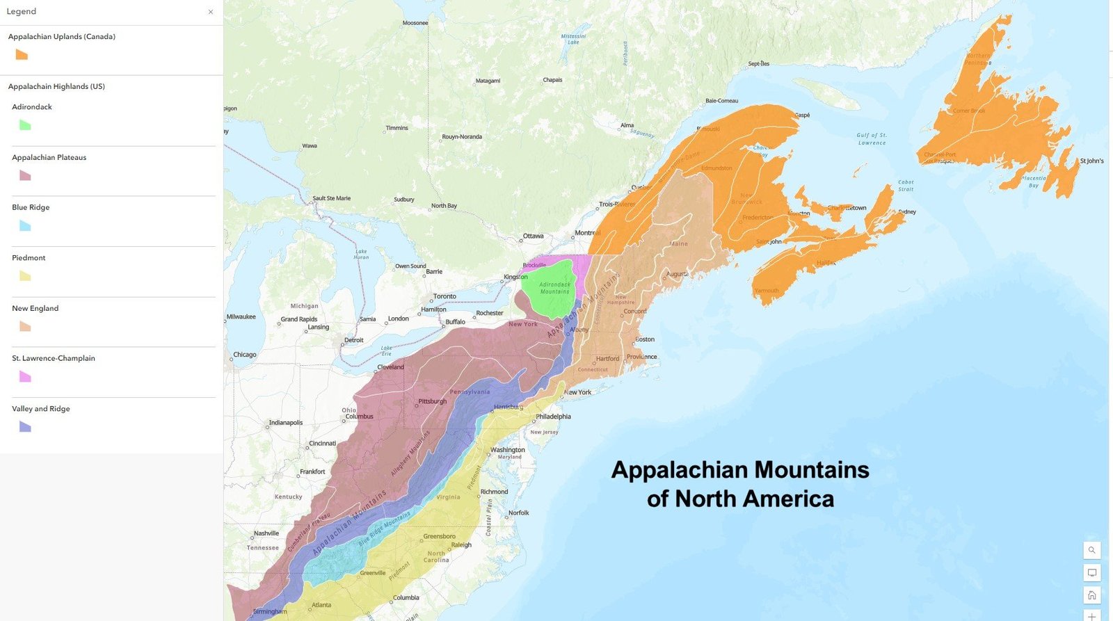
The Appalachian Backroads of North Carolina offer an extraordinary tapestry of natural beauty, winding mountain roads, historic communities, and breathtaking landscapes. Stretching across the high country, these scenic routes reveal a mesmerizing journey through dense forests, rolling farmlands, charming small towns, and panoramic mountain vistas that capture the essence of Appalachian mountain culture and wilderness.
What Makes Appalachian Backroads in North Carolina Unique?

The Appalachian Backroads in North Carolina represent more than just transportation routes; they are living narratives of landscape, history, and cultural heritage. These roads traverse through diverse terrains, connecting remote mountain communities and offering travelers unparalleled experiences of natural splendor.
Key Characteristics of Appalachian Backroads
| Feature | Description | Significance |
|---|---|---|
| Terrain | Mountainous, curvy | Challenging and scenic driving experience |
| Landscape | Dense forests, river valleys | Biodiversity and natural beauty |
| Cultural Significance | Historic mountain communities | Preservation of Appalachian heritage |
Where Are the Most Scenic Drives?

1. Sugar Grove to Beech Mountain Route
Route Details:
– Distance: 24 miles
– Estimated Time: 55 minutes
– Key Highlights:
– Watauga River farmlands
– Curvy mountain roads
– Beech Mountain (highest town on East Coast)
2. Valle Crucis to Banner Elk Journey
Route Details:
– Distance: 12 miles
– Estimated Time: 45 minutes
– Notable Stops:
– Historic Valle Crucis
– Mast Farm Inn
– Apple Hill Farm
– Roadside apple and honey stands
What Hiking Trails Complement Backroad Experiences?
Top Hiking Trails
- Max Patch Trail
- Length: 10 miles
- Difficulty: Moderate
-
Features:
- Panoramic summit views
- Part of Appalachian Trail
-
Lover’s Leap Trail
- Length: 2 miles round trip
- Difficulty: Easy to moderate
- Highlights:
- French Broad River views
- Historic Hot Springs backdrop
How to Prepare for Appalachian Backroads Travel?
Essential Preparation Tips
- Vehicle Preparation
- Ensure robust suspension
- Check tire condition
- Carry emergency supplies
-
Download offline maps
-
Seasonal Considerations
- Fall: Peak foliage season
- Winter: Potential snow challenges
- Spring: Wildflower blooming
- Summer: Optimal hiking conditions
What Camping Options Exist?
Recommended Campgrounds
- Rocky Bluff Recreation Area
- Location: Pisgah National Forest
-
Amenities:
- Campsites
- Restrooms
- Hiking trail access
-
Grandfather Mountain Campground
- Location: Near Linville
- Features:
- Year-round access
- Mile High Swinging Bridge proximity
- Wildlife viewing opportunities
Practical Travel Recommendations
- Best Time to Visit: September to October
- Recommended Vehicle: SUV or high-clearance vehicle
- Photography Tips:
- Early morning and late afternoon light
- Wide-angle lens
- Tripod for landscape shots
Safety and Etiquette
- Respect local communities
- Practice Leave No Trace principles
- Be prepared for limited cellular coverage
- Carry sufficient water and snacks
Budget Considerations
- Camping: $10-$30 per night
- Fuel: Budget for winding roads
- Meals: Pack provisions or explore local eateries
Final Thoughts
Appalachian Backroads in North Carolina offer an immersive journey through one of America’s most stunning mountain landscapes. Each mile reveals a new perspective, connecting travelers with the region’s rich natural and cultural heritage.

