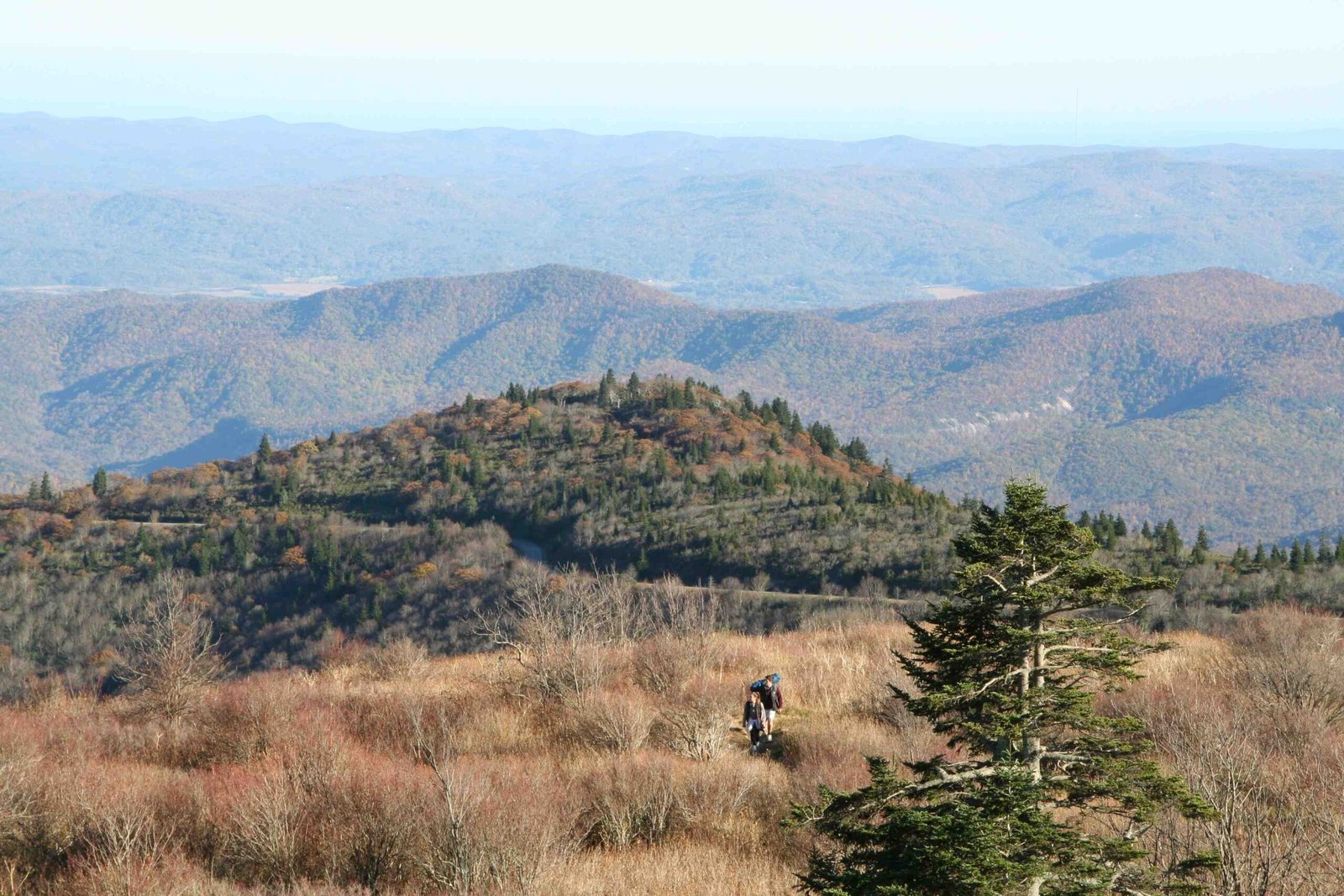
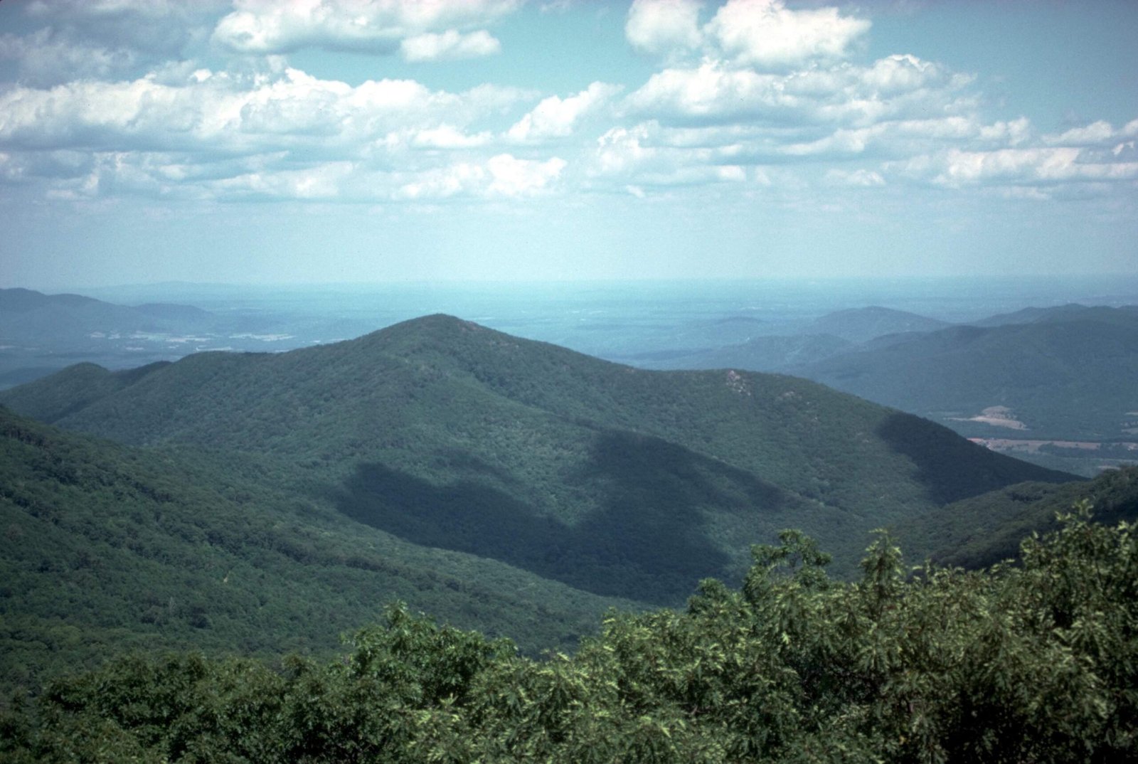
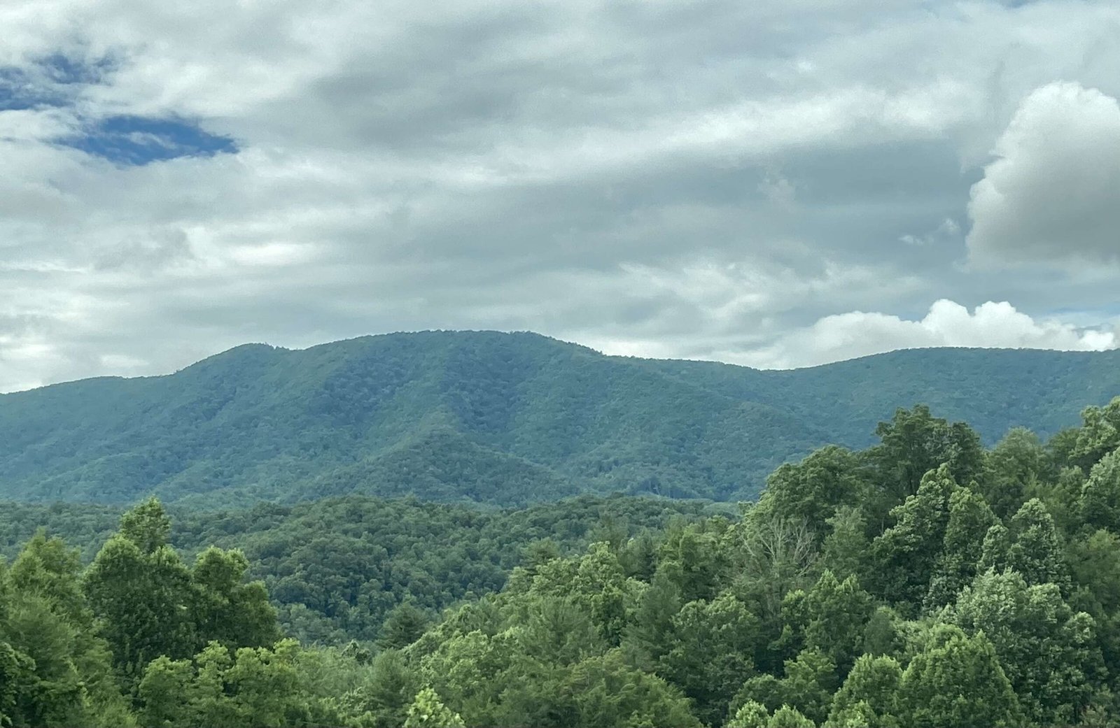
The Appalachian Highlands Scenic Byway is a remarkable 80-mile journey through northeastern Alabama’s most spectacular mountain landscapes, connecting Lookout Mountain to Cheaha Mountain. This scenic route offers travelers an immersive experience of Alabama’s natural beauty, featuring deep canyons, historic sites, diverse wildlife, and panoramic mountain views that showcase the region’s geological and cultural richness.
What Makes the Appalachian Highlands Scenic Byway Unique?

The Appalachian Highlands Scenic Byway represents more than just a road—it’s a gateway to Alabama’s most stunning natural environments. Stretching approximately 80 miles, this route traverses diverse terrains, connecting significant geographical landmarks and offering travelers an unparalleled exploration of the state’s mountainous regions.
Where Does the Scenic Route Begin and End?
| Starting Point | Ending Point | Total Distance |
|---|---|---|
| Lookout Mountain | Cheaha Mountain | 80 miles |
The byway begins at the northern point of Lookout Mountain and concludes at Cheaha Mountain, Alabama’s highest peak, providing travelers with a comprehensive mountain experience.
What Natural Attractions Await Travelers?

Little River Canyon
- Deepest canyon east of the Mississippi River
- Offers multiple hiking trails
- Scenic overlooks with breathtaking views
- Free entry with various recreational opportunities
Weiss Lake Experiences
- Premier fishing destination
- Boating and water activities
- Multiple access points
- Ideal for outdoor enthusiasts
What Historical Sites Can Visitors Explore?
Cornwall Furnace
- Reconstructed 19th-century blast furnace
- Historical museum
- Educational exhibits about regional industrial heritage
- Provides insights into Alabama’s industrial development
How Can Travelers Enjoy Outdoor Activities?
Hiking Opportunities
- Little River Canyon Rim Trail
- Canyon Floor Trail
- Cheaha State Park Trails
- Varying difficulty levels for different skill sets
Biking Routes
- Chief Ladiga Trail (33-mile paved trail)
- Suitable for cyclists of all experience levels
- Connects multiple scenic locations
What Should Travelers Prepare For?
Road Conditions and Travel Tips
- Well-maintained roads
- Potential weather variations at higher elevations
- Recommended vehicle: SUV or vehicle with good ground clearance
- Best travel seasons: Spring and Fall
Photography and Scenic Viewpoints
Top Photographic Locations
- Little River Canyon Overlooks
- GPS: 34.2217° N, 85.6453° W
- Best times: Sunrise and sunset
- Cheaha Mountain Summit
- GPS: 33.4873° N, 85.8083° W
- Panoramic mountain views
Practical Travel Information
Visitor Amenities
- Restrooms at major attractions
- Picnic areas
- Parking facilities
- Visitor centers with informational resources
Seasonal Considerations
Best Times to Visit
- Spring: Wildflower blooming
- Fall: Spectacular foliage colors
- Summer: Peak outdoor activity season
- Winter: Scenic snow-covered landscapes
Recommended Preparation
Essential Packing List
- Comfortable walking shoes
- Camera
- Water bottles
- Layered clothing
- Navigation tools
- First-aid kit
Reference:
– Alabama Byways
– National Scenic Byway Foundation
– Scenic Byways Information

