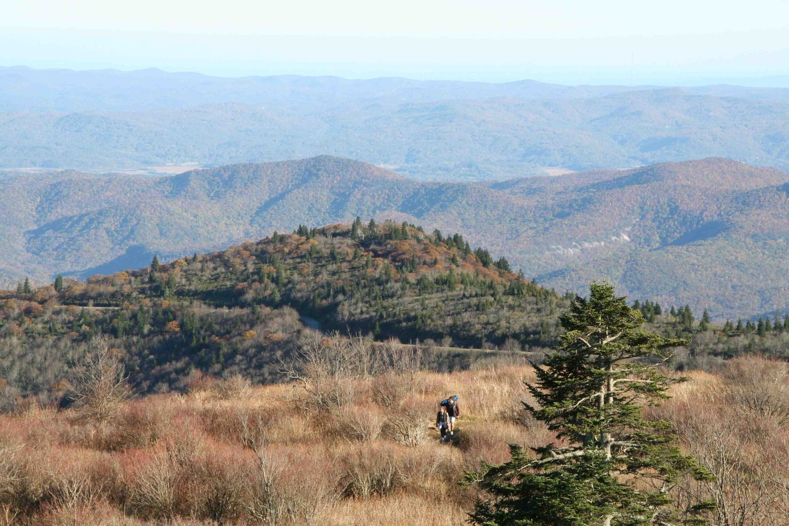
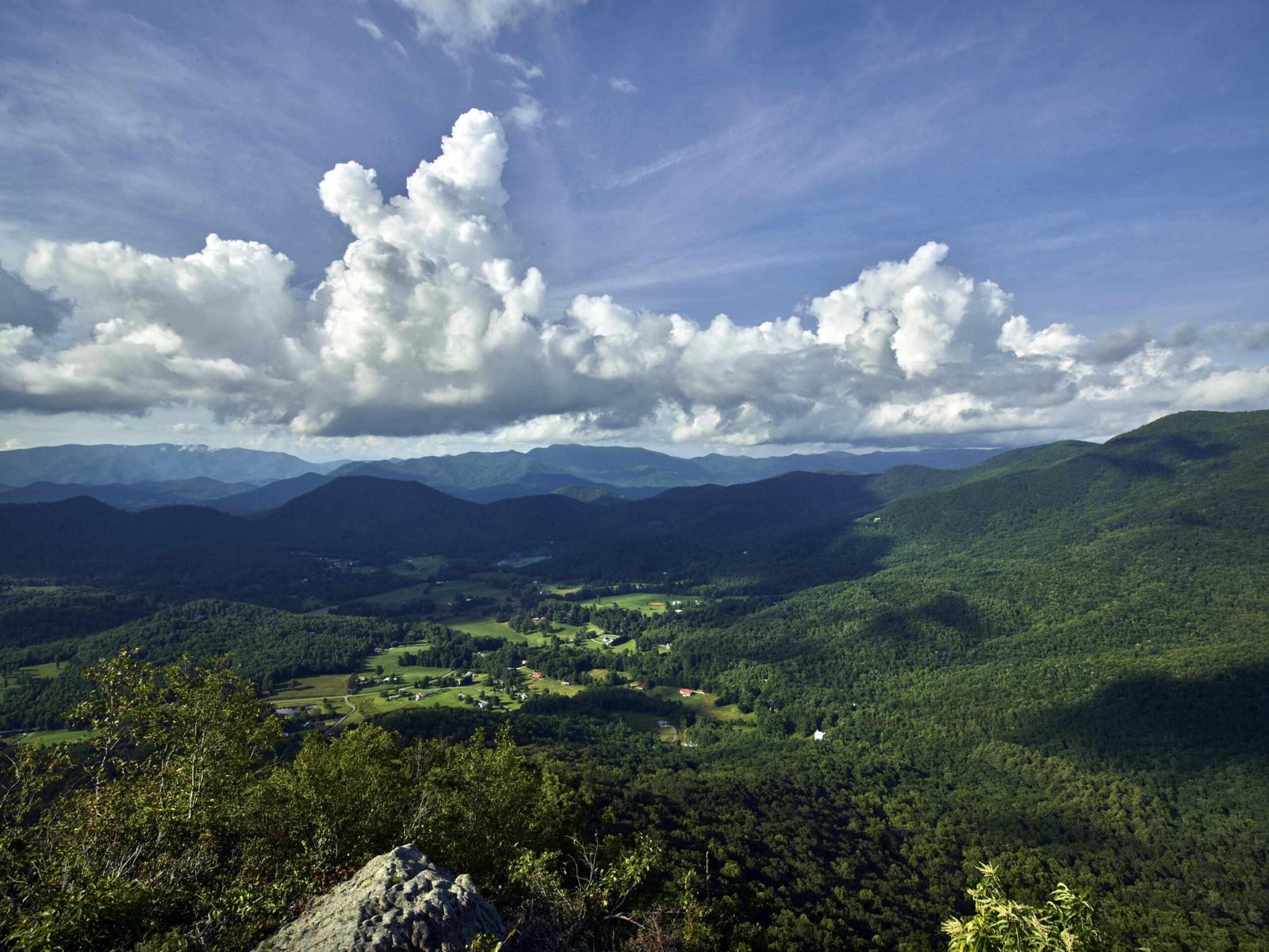
The Appalachian Waters Scenic Byway is a breathtaking 170-mile mountain route traversing the heart of Appalachia, connecting Richwood, West Virginia to Lexington, Virginia. This extraordinary journey winds through five counties, offering travelers an immersive experience of mountain landscapes, pristine rivers, dense forests, and remarkable geological formations that showcase the raw beauty of the Appalachian Mountain system.
What Makes the Appalachian Waters Scenic Byway Unique?

The Appalachian Waters Scenic Byway is not just a road—it’s a journey through some of the most spectacular mountain terrain in the eastern United States. Stretching approximately 170 miles along Route 39, this scenic route offers travelers an unparalleled exploration of natural wonders and cultural heritage.
Key Geographical Characteristics
| Feature | Description |
|---|---|
| Total Length | 170 miles |
| Route | Route 39 |
| States Covered | West Virginia, Virginia |
| Terrain | Mountain roads, forest landscapes |
| Major Rivers | Gauley, Mury, Cow Pasture |
What Rivers Can Travelers Explore?

The byway’s name perfectly captures its essence—water is a dominant feature of this scenic route. Travelers will encounter multiple rivers and streams, including:
- Gauley River: Known for world-class whitewater rafting
- Mury River: Offers picturesque views and recreational opportunities
- Cow Pasture River: Provides serene landscapes and fishing spots
Where Are the Best Scenic Viewpoints?
Several remarkable locations offer breathtaking perspectives along the Appalachian Waters Scenic Byway:
- Goshen Pass
- Located near Lexington, Virginia
- Stunning fall foliage views
- Opportunities for hiking and kayaking
-
Picnic pavilion and river access points
-
Millboro Mercantile Area
- Unique country store environment
- Interesting local cultural experience
- Proximity to scenic mountain landscapes
What Wildlife and Natural Features Exist?
The Appalachian Waters Scenic Byway traverses diverse ecological zones, featuring:
- Dense Appalachian forests
- Mountain wildlife habitats
- Multiple elevation changes
- Rich biodiversity
- Geological formations dating back millions of years
How Can Travelers Prepare for the Journey?
Essential Preparation Tips
- Check vehicle condition before mountain driving
- Carry extra water and emergency supplies
- Download offline maps
- Bring camera equipment
- Pack layers for temperature variations
- Consider seasonal driving conditions
What Are Recommended Stops?
- Marlinton Visitor Center
- Local information hub
- Cultural insights
-
Trip planning assistance
-
Webb’s General Store
- Authentic local shopping experience
- Historical significance
- Refreshment opportunities
When Is the Best Time to Travel?
| Season | Characteristics | Recommended Activities |
|---|---|---|
| Spring | Mild temperatures, blooming flora | Hiking, photography |
| Summer | Warm, peak tourist season | Rafting, camping |
| Fall | Spectacular foliage | Scenic driving, leaf-peeping |
| Winter | Snow-covered landscapes | Limited accessibility |
Safety Considerations
- Maintain slow, steady speeds on mountain roads
- Watch for wildlife crossing
- Use low gears on steep descents
- Carry emergency communication devices
- Check weather forecasts before traveling
Final Thoughts
The Appalachian Waters Scenic Byway represents more than a road—it’s a gateway to understanding the magnificent Appalachian landscape, offering travelers an immersive journey through natural beauty, cultural heritage, and geological wonder.

