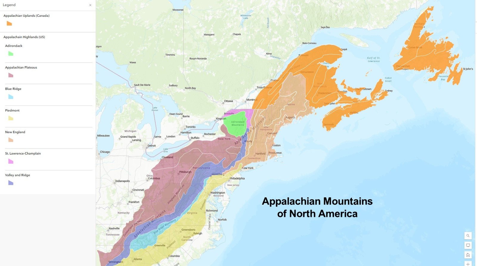
The Appalachian Trail in North Carolina currently faces significant challenges due to recent hurricane damage, with extensive trail closures, washed-out sections, and hazardous terrain blocking hiker access. Hikers must exercise extreme caution and check official updates before attempting any trail segments in the region.
What Are the Current Trail Surface Conditions?

The Appalachian Trail in North Carolina has experienced substantial environmental disruption, primarily caused by recent hurricane impacts. Key observations include:
Trail Damage Assessment
- Extensive Hurricane Damage: Multiple sections rendered impassable
- Terrain Obstacles:
- Fallen trees blocking pathways
- Mudslides covering trail segments
- Washed-out bridge crossings
| Damage Type | Severity | Impact Level |
|---|---|---|
| Tree Blockages | High | Complete Trail Obstruction |
| Mudslides | Moderate | Partial Trail Disruption |
| Bridge Damage | Critical | Potential Safety Risk |
Where Are the Most Affected Trail Sections?

The most significantly impacted areas include:
- Great Smoky Mountains National Park sections
- National forest trail segments
- High-elevation mountain passages
Specific Regional Challenges
- U.S. Forest Service has closed multiple national forests
- Great Smoky Mountains National Park experiencing comprehensive trail restrictions
How Should Hikers Prepare?
Recommended preparation strategies:
- Communication:
- Contact Appalachian Trail Conservancy before hiking
- Check official trail condition reports
-
Verify local ranger station updates
-
Safety Equipment:
- Carry emergency communication devices
- Pack additional survival gear
- Bring detailed topographical maps
- Include extra water and food supplies
What Are the Current Weather Considerations?
Weather conditions remain unpredictable, with potential:
– Rapid temperature fluctuations
– Potential additional precipitation
– High wind risks in mountain corridors
Recommended Weather Monitoring
- Use National Weather Service resources
- Check hourly mountain-specific forecasts
- Understand microclimate variations
Who Can Provide Direct Trail Updates?
Contact Information for Official Updates:
– Appalachian Trail Conservancy
– Email: trailconditions@appalachiantrail.org
– Local Ranger Stations
– Mount Rogers Appalachian Trail Club
Emergency Preparedness Recommendations
- Postpone non-essential hiking
- Carry comprehensive emergency kit
- Inform someone about your planned route
- Have backup communication methods
- Understand potential evacuation routes
Critical Warning
Immediate Action Required: Hikers are strongly advised to avoid trail sections between Springer Mountain and Rockfish Gap due to extreme environmental conditions.
Technical Trail Details
- Total Affected Length: Approximately 40-50 miles
- Estimated Recovery Time: 4-6 weeks
- Recommended Waiting Period: Minimum 3-4 weeks post-hurricane
Professional Guidance
Consult professional hiking organizations and local ranger stations for the most current, precise trail condition information before attempting any hiking expeditions.
Reference:
– Appalachian Trail Conservancy Official Website
– National Forest Service Updates
– Great Smoky Mountains National Park

