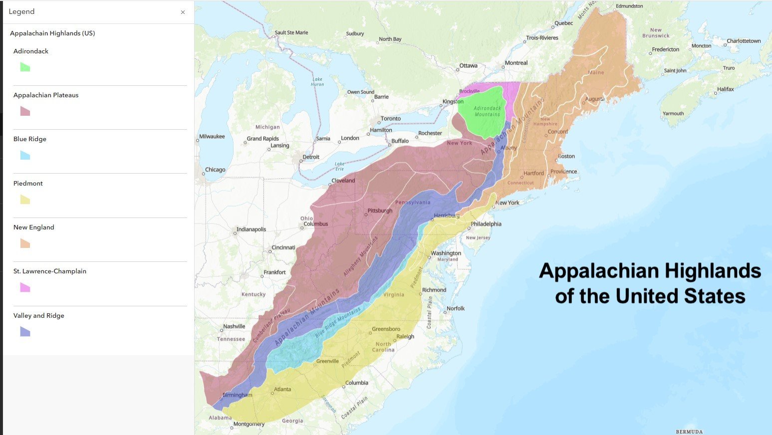
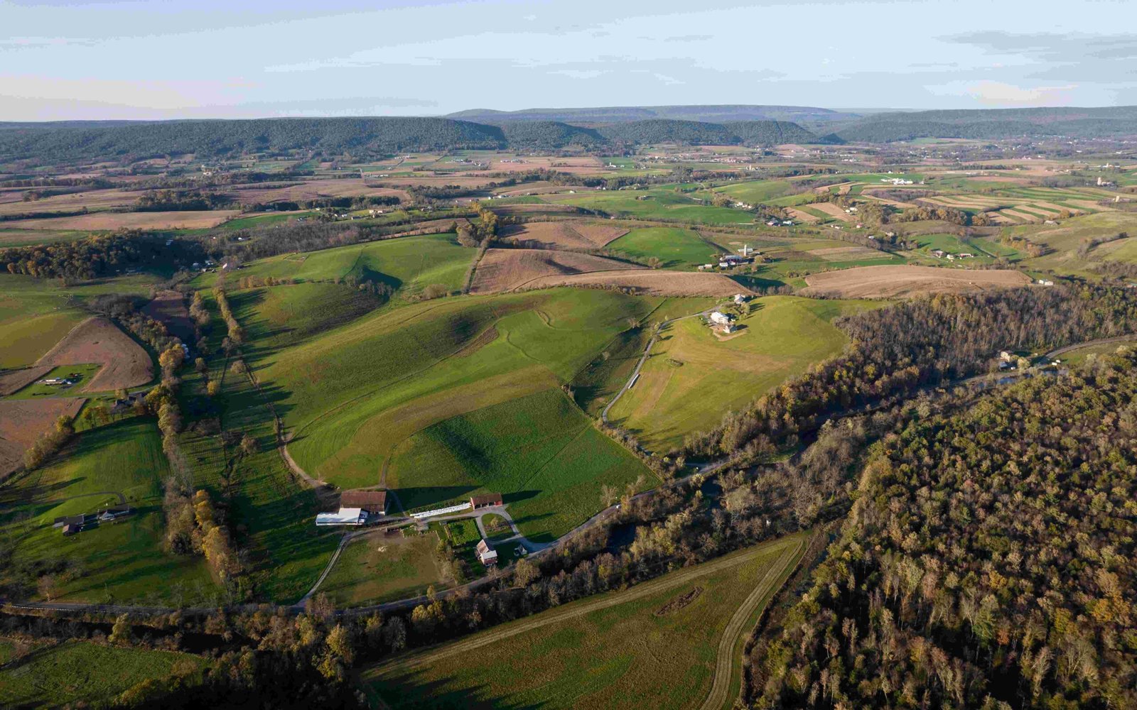
Nestled in the rugged terrain of Carter County, Tennessee, the Clyde Smith Shelter stands as a critical waypoint for Appalachian Trail thru-hikers and backpackers. Situated approximately 368.3 miles from Springer Mountain, this shelter offers a crucial rest stop with basic amenities, providing weary hikers a sanctuary amidst the challenging Appalachian Mountain landscape.
What Makes Clyde Smith Shelter Unique?

The Clyde Smith Shelter represents more than just a simple resting point; it’s a testament to the trail’s infrastructure and community support for long-distance hikers. Located at precise GPS coordinates 36.148523, -82.161179, this shelter embodies the spirit of wilderness exploration and communal outdoor experience.
Where Exactly Is the Clyde Smith Shelter Located?

Geographic Positioning
- County: Carter County, Tennessee
- Trail Mileage: 368.3 miles northbound from Springer Mountain
- GPS Coordinates: 36.148523, -82.161179
- Trail Proximity: 0.1 miles west of the Appalachian Trail
What Amenities Can Hikers Expect?
| Amenity | Details |
|---|---|
| Water Source | Spring located 175 yards left of shelter |
| Sleeping Capacity | 10 people |
| Nearby Shelters | Cherry Gap Shelter (9.1 miles south) |
| Roan High Knob Shelter (8.5 miles north) |
Water and Facilities
Hikers should note the water source requires a short 175-yard walk on a blue-blazed trail. While specific cooking facilities aren’t detailed, most Appalachian Trail shelters provide basic fire pit areas for meal preparation.
How Challenging Is the Approach to Clyde Smith Shelter?
The approach to Clyde Smith Shelter involves moderate terrain typical of the Appalachian Trail in Tennessee. Experienced hikers can expect:
– Average hiking speed: 2-3 miles per hour
– Estimated hiking times:
* To Cherry Gap Shelter: 3-4 hours
* To Roan High Knob Shelter: 2.5-3.5 hours
Preparation Tips for Hikers
Essential Recommendations
- Carry sufficient water filtration equipment
- Pack lightweight, compact sleeping gear
- Bring emergency communication devices
- Check current trail conditions before departure
- Understand leave-no-trace principles
Seasonal Considerations
The shelter’s accessibility and condition can vary significantly with seasonal changes. Summer offers more predictable conditions, while winter demands advanced preparation and potentially specialized gear.
Weather Preparedness
- Check local forecasts before hiking
- Carry appropriate layering clothing
- Understand potential temperature variations
- Be prepared for sudden mountain weather shifts
Conservation and Respect
Hikers using the Clyde Smith Shelter should adhere to strict conservation practices. This includes:
– Packing out all trash
– Respecting wildlife
– Minimizing environmental impact
– Following designated trail and shelter guidelines
Final Thoughts
The Clyde Smith Shelter represents more than a simple structure—it’s a crucial component of the Appalachian Trail’s intricate network, offering refuge and community for those undertaking one of America’s most iconic hiking experiences.
Quick Reference
- Elevation: Approximately 3,500 feet
- Trail Section: Tennessee Appalachian Trail
- Difficulty: Moderate
Reference:
– WhiteBlaze Forum
– Greenbelly Meals Trail Guide
– Tennessee Landforms Trail Information

